
Lawrenceville Neighbor Record Sources
A defensible block lookup is spatial. It begins with the target parcel and moves to the lots that physically touch or face it. Each official source answers a different question, and none supplies a full household directory.
| Source | What it shows about a block | Access |
|---|---|---|
| GIS parcel map | Geometry, adjacent lots, situs, owner-linked tax data | Free browser; click, select, and pan |
| Assessor cards | Owner, mailing address, exemption, value, legal description | Free property search |
| Plats and deeds | Subdivision lots, easements, transfers | GSCCCA or clerk; copy conditions apply |
| Elections | Precinct and polling place; authorized voter data | MVP, Elections office, or lawful list order |
| Planning and code | Public cases, applications, property details | City or county after boundary check |
| Neighborhood groups | Public officers, events, voluntary resources | Published contacts or direct request |
Property data can establish title and parcel placement. It cannot establish everyone who lives on the block.
Map Lawrenceville Neighbors Parcel by Parcel
Open the Gwinnett GIS Data Browser. Search the target Parcel Address and zoom until lot lines are clear. The official guide documents Identify, Layer List, Measure, Bookmark, Share, and Print tools. It does not document a radius or buffer button, so use visual adjacency rather than claiming an automated radius search.
- Locate the exact situs address and confirm its parcel ID.
- Select the parcel immediately left, right, across, and behind.
- Write each parcel ID and street number in physical order.
- Open the linked tax details and keep owner and mailing fields separate.
- Save a share URL or print the extent with the search date.
For a full named-road chain, use the Lawrenceville directory by street. The neighbor method stays focused on the immediate block.
- Parcel
- A mapped tax unit, not a household.
- Situs address
- The physical location assigned to the parcel.
- Mailing address
- Where the owner receives tax mail; it may be elsewhere.
- Plat
- A recorded map of lots, roads, and easements.
Make a Lawrenceville Block Reproducible
Gwinnett GIS covers more than 245,000 tax parcels and 2,300 road miles. That scale makes precise notes essential. The parcel schema can show Parcel ID, lot, exemption type, acreage, location address and ZIP, Owner 1 and Owner 2, mailing address, and street fields. Its service reports a 2,000-record selection ceiling, far above the few parcels needed for one block.
Use the Share tool to preserve a URL and Print for a fixed view. Record the map date because owner-linked tax data follows county updates, not real-time occupancy. Parcel outlines are administrative data and are not boundary surveys.
Lawrenceville Owners Are Not Occupants
The parcel roll identifies title and tax responsibility. It does not list renters, children, roommates, or every relative. Lawrenceville's estimated owner-occupied rate was 47.0 percent for the cited 2020-2024 period, which shows why an owner-only map leaves a large structural gap.
| Official source | Strength | Limit |
|---|---|---|
| GIS and assessor | Current parcel placement and tax ownership | No complete occupant roster |
| Deed or plat | Recorded title and lot identity | No proof of present residence |
| Voter record | Dated registration residence | Only registrants; protected data withheld |
| Commercial neighbor compilation | May combine broad data | Can be stale, merged, or wrong |
Official records should control over commercial compilations. Even official entries must be read within their scope and as of their production date.
Lawrenceville Voter Data by Street
Georgia My Voter Page verifies a known registrant with identifying fields. It is not an anonymous block browser. Georgia's voter-list order process can provide normalized residence street number, direction, name, type, unit, city, and ZIP under O.C.G.A. § 21-2-225. Protected identifiers and qualifying VoteSafe addresses are withheld.
The Gwinnett county file is listed at $70 and the municipal list at $65. A postal Lawrenceville block may fall outside the city, so county coverage can avoid a false municipal assumption. Preserve the production date and never try to reconstruct protected fields.
The Gwinnett Elections office explains registration and precinct access.
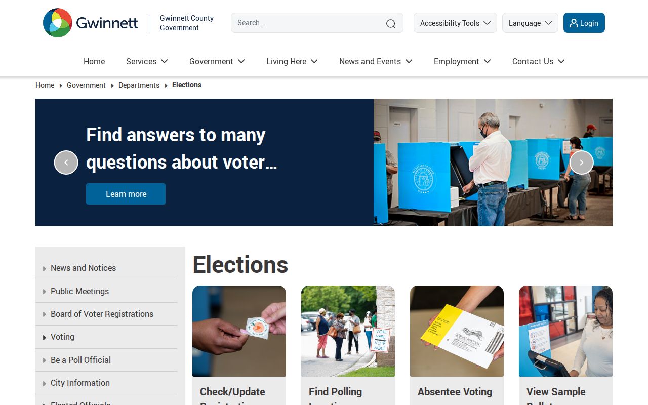
The office is an access channel for questions and existing records, while My Voter Page remains an individual verification tool.
Check Lawrenceville's Red City Line
A Lawrenceville postal address may be inside tax district 06 or in unincorporated district 01. Check the city boundary before requesting public planning, code, permit, police, or municipal-court material. Inside the red outline, the City of Lawrenceville is the custodian. Outside it, the matching Gwinnett County department holds the record.
If no portal exposes the needed existing file, send a focused request with address, record type, and date range. The Georgia open-government FAQ explains the usual three-business-day response rule and fee framework.
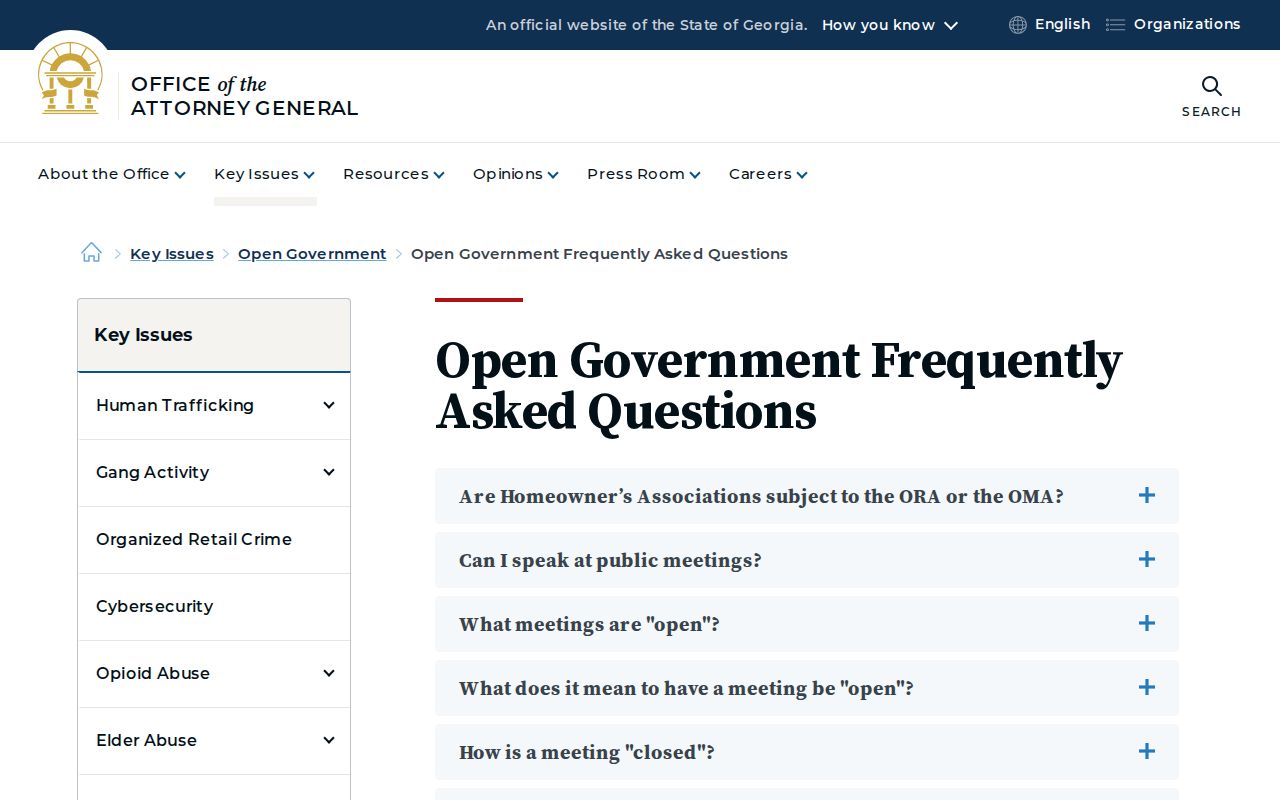
The Open Records Act permits access to existing nonexempt records. It does not force an agency to compile a custom neighbor list.
Lawrenceville Civic Contacts, Not Rolls
Neighborhood organizations are voluntary civic sources. Public officer pages can connect a resident to meetings or events, but private HOA and member lists are not government records. No authoritative current inventory of Lawrenceville associations with public membership-directory status was verified.
City Clerk
City boards, commissions, minutes, and public civic contacts. City Hall, 70 South Clayton Street; 678-407-6389.
Gwinnett Elections
Precinct, registration, and authorized voter-list questions. 455 Grayson Highway, Suite 200; 678-226-7210.
Local history help
GCPL newspapers and the historical society can document older communities without treating current rosters as public.
A proposed-annexation map names communities such as Old Peachtree Station, Timber Gate, Springlake Falls, Adams Landing, and Sugarloaf Manor. Those names can guide follow-up, but the map does not prove association borders or member lists.
The City Clerk source was successfully captured for this community layer.
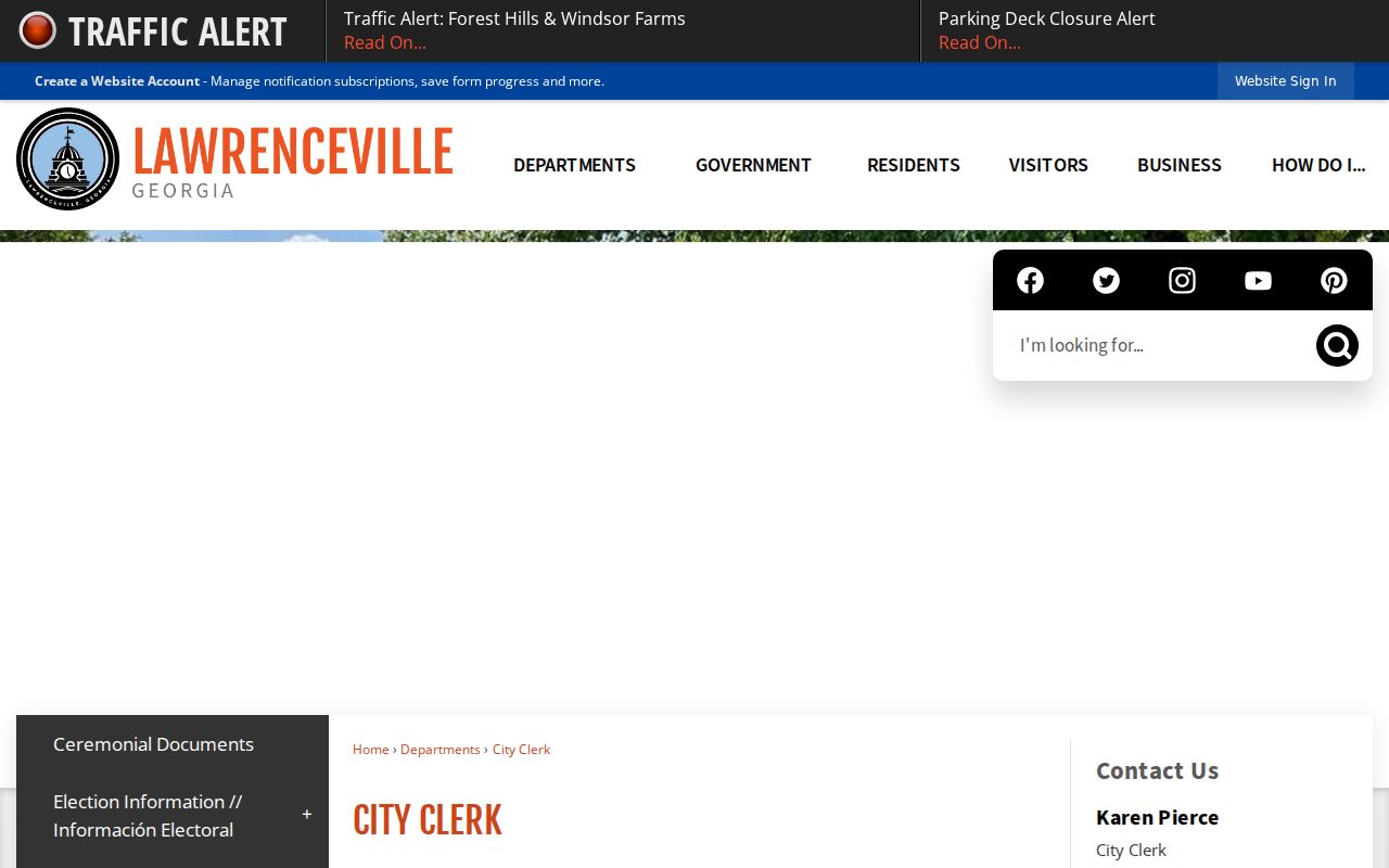
Use published officers and public contacts for civic outreach, never as a substitute for resident evidence.
Privacy for Lawrenceville Neighbors
Utility customer data, delivery records, DMV addresses, and private rosters are not public block directories. Georgia VoteSafe can protect qualifying voter records. Other statutory exemptions may hide home contact data for protected people. A blank field is not an invitation to fill it from another source.
Lawful use. Neighbor records may support civic curiosity and personal safety, but never stalking, threats, repeated unwanted contact, or harassment.
Current custody information is also time-sensitive and is not general neighbor evidence. The Gwinnett Sheriff inmate search is the official current-custody route when a specific lawful safety need exists.
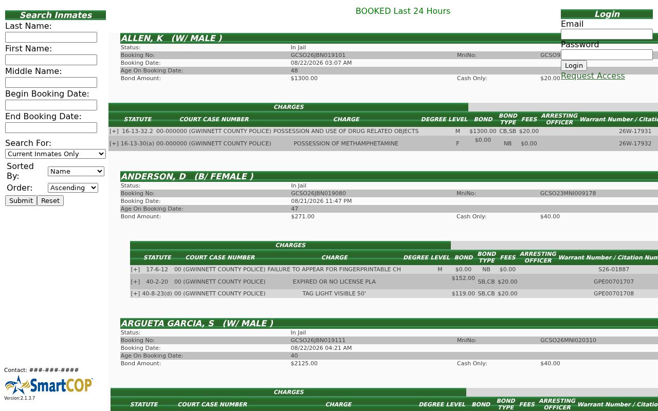
An arrest or booking is not a conviction and should never be used to label a whole Lawrenceville block.