
Lawrenceville ZIP Directory Coverage
Five postal codes carry the Lawrenceville preferred city name on the official Gwinnett map. They do not form five city districts. Each postal area follows delivery needs, while municipal lines reflect incorporation and annexation. These descriptions are cautious map readings, not neighborhood borders. The official Gwinnett ZIP map is the source for the set.
| ZIP | Area covered | Post office identity | Record note |
|---|---|---|---|
| 30042 | Small postal area | Lawrenceville PO boxes | PO-box-only, not a residential situs zone |
| 30043 | North and northeast toward Suwanee and Dacula | Lawrenceville | Much lies outside the city |
| 30044 | South and southwest toward Lilburn | Lawrenceville | Broad unincorporated area |
| 30045 | East and southeast toward Grayson and Dacula | Lawrenceville | City and county parcels |
| 30046 | Central and downtown courthouse area | Lawrenceville | Strong city-center link; verify each parcel |
Nearby 30047 and 30078 are not Lawrenceville ZIP codes. No official neighborhood-by-ZIP list was found. For one deliverable address, use the Postal Service rather than assigning a code from a map edge.
Verify a Lawrenceville ZIP Address
The USPS lookup by address answers the delivery question. Enter the full street address and unit. Keep the standardized result, including ZIP+4, because it can help separate similar addresses and show the preferred mailing city.
The captured USPS screen shows the official form, not a guessed neighborhood code.
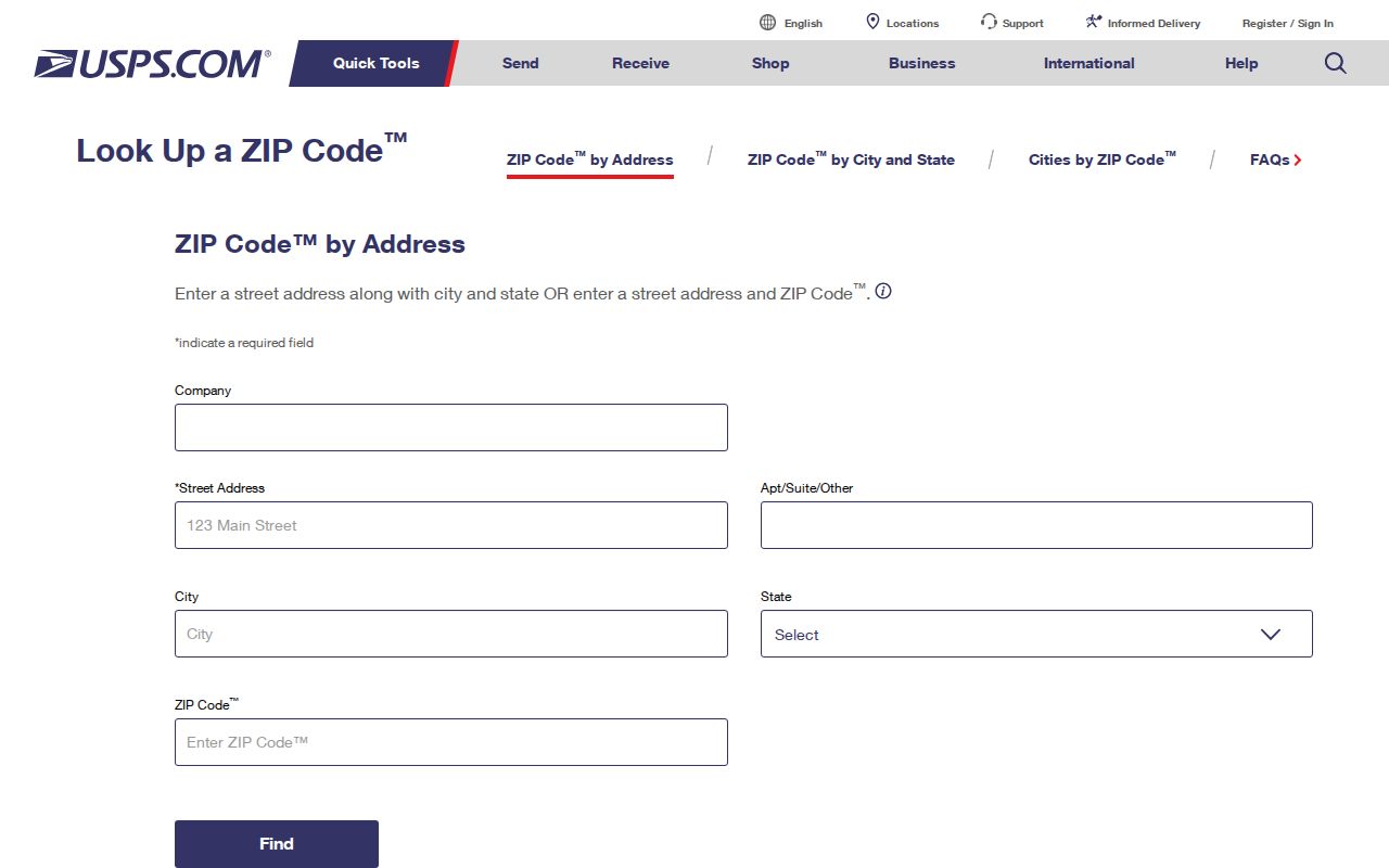
The result verifies mail routing only. Pair it with parcel data before contacting City Hall.
- Confirm the complete address through USPS.
- Search that address in Gwinnett GIS and note the parcel ID.
- Read the tax-district tag and mapped city line.
- Use city offices for district 06 and county offices for district 01.
Lawrenceville ZIP 30042 Is Different
Code 30042 is shown as PO-box-only. A box can receive mail, but it is not a parcel situs, the county-assigned physical location of land. Do not map the box as a home or infer that its holder lives in the incorporated city. A property, voter, permit, or deed search needs a physical address, parcel number, or another valid field.
Practical distinction. Keep a PO box as a correspondence clue and locate independent physical-address evidence before making a statement about residence.
Lawrenceville Records with ZIP Fields
Official systems store more than one ZIP. The GIS address service includes ZIP5 and ZIP4 for the site. Parcel records may also carry an owner mailing ZIP, which can point to an office, trust address, another home, or box. The voter-list layout has separate residence and mailing ZIP fields. My Voter Page verifies a known person but does not browse a postal zone.
| Field | Meaning | Sound use |
|---|---|---|
| Location ZIP | Code tied to parcel situs | Group physical properties cautiously |
| Owner mailing ZIP | Tax-mail destination | Never proof of occupancy |
| Residence ZIP | Field in a dated voter file | Use under Georgia voter rules |
| Mailing ZIP | Separate voter contact field | Keep distinct from residence |
| ZIP+4 | More precise USPS code | Verify one standardized address |
The Gwinnett GIS Data Browser supports address, parcel, owner, and subdivision searches. It is better suited to narrowing a ZIP area than a name-only query.
Lawrenceville ZIPs and City Limits
The mailing city is not a legal jurisdiction. Many addresses in 30043, 30044, and 30045 say Lawrenceville yet receive county services. The city's City Limits map lets users search an address and compare the parcel with the red outline. Tax district 06 means City of Lawrenceville; 01 means unincorporated Gwinnett.
The captured city source makes this check visible before a request is sent.
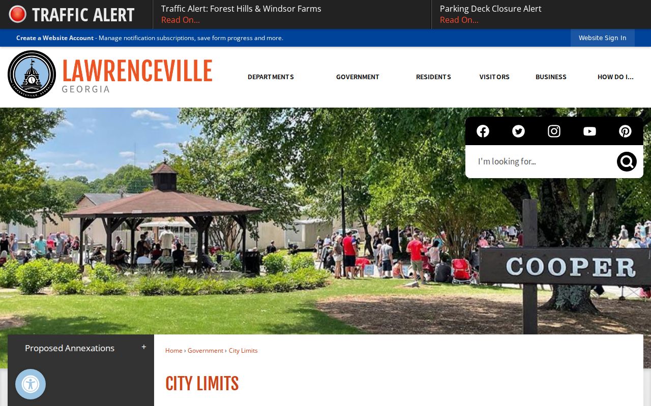
This routes permits, code cases, city court, and police records correctly. Deeds, county parcels, and most trial-court files stay with Gwinnett.
- ZIP code
- A five-digit USPS route, not a city boundary.
- ZIP+4
- An add-on that narrows a delivery segment or box group.
- PO-box ZIP
- A code used for post-office boxes.
- Carrier route
- A postal path, not a neighborhood resident roll.
Lawrenceville's 2026 Boundary Lesson
A proposed annexation showed the mismatch. The affected parcels already used Lawrenceville postal addresses, and the city said annexation would change services without changing those addresses. Voters rejected the proposal on May 19, 2026, leaving the divide intact.
This disproves a common assumption: seeing Lawrenceville in a ZIP code directory does not mean City Hall holds the file. Preserve the parcel ID and district tag with the postal result.
Find Lawrenceville Residents by ZIP
Once the code and jurisdiction are clear, official rolls can narrow a search. The method works best when a name, address, or parcel is known. No portal lists every person living in one ZIP.
- Use USPS to confirm the mailing code.
- Open the assessor or GIS record and separate situs from owner mailing data.
- For a lawful voter-file project, use the residence ZIP in the dated file, not My Voter Page as a block browser.
- Verify names with parcel IDs, deed references, or other independent facts.
- Move to the Lawrenceville directory by street for parcel-by-parcel work.
Gwinnett Elections answers registration and precinct questions. Other existing election records may be requested under the Georgia Open Records Act, but protected data remains withheld.
The Gwinnett polling-place locator supplies another geographic check.
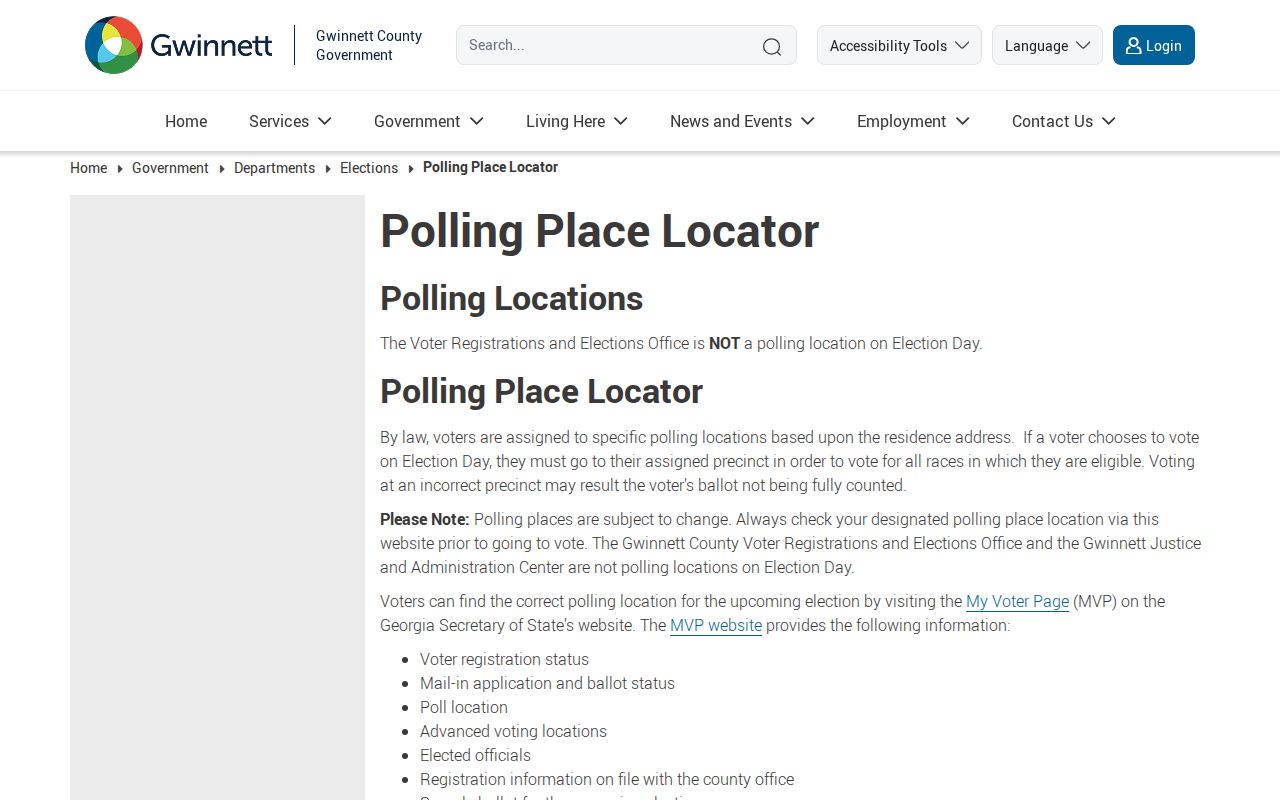
Polling geography confirms civic districts, not who occupies a parcel.
Limits of Lawrenceville ZIP Lookup
Census ZIP Code Tabulation Areas are statistical shapes, not live USPS routes. Border descriptions are approximate. An address can change, tax mail can go elsewhere, and a voter file is only a dated snapshot. None should become an occupant claim without support.
Use each system for its job: USPS for delivery, GIS for parcel geography, the assessor for tax ownership, Elections for authorized voter data, and the city map for municipal custody. That division makes the Lawrenceville ZIP code directory useful without asking a mailing label to prove too much.