
Walk a Lawrenceville Street by Address
A street directory search starts with one verified situs address, the physical location assigned to a parcel. Enter it in the Gwinnett property or GIS search. Then move parcel by parcel along the same road segment. Keep each PIN, house number, owner name, and legal description in physical order. Geography prevents a similar road name, duplicate number, or owner from being joined to the wrong property.
The street-by-street chain separates five questions. The assessor identifies the tax owner. GIS places the lot and nearby parcels. The deed index documents title changes. Election sources have strict access rules and do not operate as an anonymous block browser. Directories and newspapers can supply older occupant clues, but their years and coverage must be proved.
- Search the exact address and save the parcel PIN.
- Open GIS, zoom to lot lines, and pan along the street.
- Record the owner, situs, mailing address, subdivision, and deed reference.
- Use the deed reference and legal description in GSCCCA.
- Check lawful voter, permit, newspaper, or directory evidence for the needed date.
Map Lawrenceville Streets in Gwinnett GIS
The Gwinnett GIS Data Browser is the strongest whole-street tool because it preserves spatial order. Its map supports parcel, address, owner, street, and intersection location, plus aerial and base maps, identify, selection, legend, print, and shareable links. The mapped owner layer comes from tax data, so it reflects the county’s update schedule rather than real-time occupancy.
Locate one known parcel, zoom until lot lines show, select the next parcel, and open its attributes. Pan along the segment rather than starting a series of unrelated owner searches. The official service can expose Parcel ID, lot, acreage, location address, owner names, mailing address, and street fields. A mapped line is administrative data, not a boundary survey.
Open the live Gwinnett parcel browser before consulting this captured view.
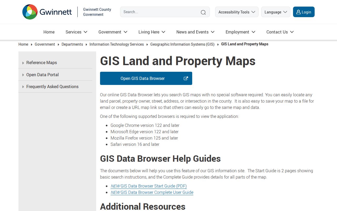
The map interface keeps parcels in street order while each tax record is inspected.
Lawrenceville Street Map Search Fields
The GIS widgets accept several ways into the same mapped parcel layer. Use the most stable identifier available. An exact PIN is safer than a broadly spelled owner name, while a subdivision can recover lots when an address has changed. The official guide says the legacy address workflow may work best without the street type.
| GIS control | Input | Best street use | Important detail |
|---|---|---|---|
| Parcel Address | Number and street | Start at one known lot | Street type may be omitted in legacy search |
| Parcel ID | PIN | Return to one exact parcel | Autocomplete narrows the match |
| Owner | Name | Open owner-linked tax data | Owner is not always occupant |
| Subdivision | Subdivision name | Group platted lots | Useful in later development |
| Assessment Neighborhood | County grouping | Compare nearby assessed parcels | Not a social neighborhood |
| Zoning Case | Case number | Find mapped land-use action | Does not prove residence |
Read the county GIS overview alongside its captured information page.

The county overview points to the browser and official help material that define these controls.
Lawrenceville Records Indexed by Address
Several official sources contribute to a Lawrenceville street directory, but none is an occupant roster. The correct chain moves from mapped land to the record that answers the next question. Keep an “occupancy unknown” column when building a personal research list so an owner, taxpayer, permit applicant, or voter is not mislabeled.
| Address source | Street evidence | How to reach it | Main limit |
|---|---|---|---|
| Assessor | Owner, situs, mailing, PIN, value, legal description | Address search and parcel card | Ownership is not occupancy |
| GIS Browser | Ordered parcels, city line, subdivision, zoning | Map, select, identify, pan | Not a land survey |
| GSCCCA index | Grantors, grantees, recorded transfers | Deed reference, name, legal description | Older deeds may omit modern address |
| Voter records | Registration residence and districts where lawful | MVP or statutory list request | No anonymous block browser |
| Permits and code | Work, dates, applicants, case facts where public | City or county after boundary check | Applicant need not be resident |
| Newspapers and directories | Dated address or occupant clues | GCPL, DLG, archival catalog | Gaps and name changes |
Read Lawrenceville Address Types Apart
A Lawrenceville postal address can describe several different things. The situs address fixes the physical parcel. The owner mailing address receives tax correspondence and may be elsewhere. The legal description identifies land by lot, block, subdivision, or metes and bounds. A postal ZIP routes delivery. The parcel PIN bridges county systems. These fields should remain separate in every by-address worksheet.
- Parcel
- A unit of land in the assessor and GIS systems, identified by a PIN.
- Situs address
- The physical address tied to the parcel, not the owner’s mailing destination.
- Plat
- A recorded drawing that shows lots, blocks, roads, and related land details.
- Criss-cross directory
- A printed directory organized by street and number to find a listed occupant.
The distinction is vital for trusts, businesses, post-office boxes, and owners of more than one parcel. Never treat the mailing field as proof that the owner moved there. Confirm a person with a second record dated near the period being studied.
Lawrenceville Streets Cross Custody Lines
The official Lawrenceville ZIP set includes 30042, 30043, 30044, 30045, and 30046, but broad parts of the postal area sit outside the incorporated city. Use the city-limit address map or the GIS tax-district tag. District 06 indicates City of Lawrenceville; 01 indicates unincorporated Gwinnett. This determines custody for police, municipal court, permits, code, utilities, and local elections.
The failed May 2026 annexation proposal made the mismatch plain: affected parcels already used Lawrenceville postal addresses, and annexation would not have changed their mail. It would have changed jurisdiction and services. That is why a street directory must record both postal city and government boundary.
Insider tip. Save the tax-district tag beside each parcel when a Lawrenceville road crosses or approaches the red city boundary.
Follow Lawrenceville Deeds Along a Street
Once the current parcel is fixed, open the purchase instrument through the GSCCCA Real Estate Index or request it from the Clerk at 75 Langley Drive. Record the grantee, grantor, execution and recording dates, instrument or book/page reference, and legal description. Then search the grantor’s earlier acquisition and confirm the same land description. A modern address alone is too weak for old deeds.
Plats translate road frontage and subdivision lots into legal parcels. The remote index and image service may carry account or access charges, while the Clerk permits free searching and viewing in its land-record room. Preserve enough citation detail for a counter copy when no image appears.
Review Gwinnett’s deed and land-record route with its captured page.
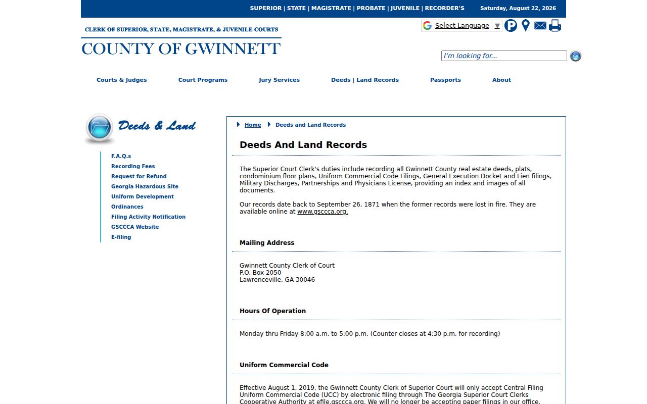
The clerk route supplies the counter fallback that a remote street directory search still needs.
Lawrenceville Permits Follow the Boundary
Permits and code records can date construction, additions, repairs, inspections, violations, and applications at an address. Inside the city line, Lawrenceville Licensing, Permits and Plans, Code Enforcement, and the City Clerk are the relevant custodians. Outside it, Gwinnett Planning and Development handles county files. An applicant or contractor named in a permit does not become a proven resident.
When an electronic search fails, ask for an existing record by modern situs address, archived alias, date range, permit or case type, and parcel number. Lawrenceville’s open-records portal and in-person request are documented city channels. County or city staff can clarify custody, but an Open Records Act request cannot require a new custom street list.
The GIS address and centerline layers help bridge current and historic wording. No official citywide street-renumbering year was found, so do not invent one. Use the PIN, plat, deed description, permit references, and newspaper mentions when house numbers differ.
Voter Data Is Not a Street Directory
Georgia My Voter Page checks one known registrant with identifying information. It does not allow an anonymous user to browse everyone on a Lawrenceville block. A lawful purchased file has normalized residence street fields and civic districts, but it also has a production date and strict statutory limits. Protected addresses and excluded identifiers must remain withheld.
For legitimate civic analysis, normalize street directionals and types before grouping. A residence address is the registration address at that snapshot, while a mailing address may differ. Inactive status does not prove a move on a known date. “Last Party Voted” concerns a primary ballot type and never reveals candidate choice. VoteSafe can make a qualifying voter’s registration file confidential.
The Gwinnett Elections office answers registration and precinct questions by phone, email, or at its Grayson Highway office. A focused Open Records Act request can seek an existing election record not covered by the standard list product, but it cannot override confidentiality or force staff to compile a new result.
Older Lawrenceville Streets Need Archives
No authoritative catalog in the research proves specific Lawrenceville reverse-directory years. That gap must remain visible. Do not promise a criss-cross shelf until GCPL or an archive confirms the title and year. The verified historical substitutes include Gwinnett census microfilm, newspapers from 1871 forward across several named runs, the 1904-05 statewide business directory’s Lawrenceville section, and dated First United Methodist Church directories.
GCPL can print, email, or save microfilm images, and staff accept obituary or article research requests. The Gwinnett Historical Society has surname, family, church, cemetery, school, map, photo, deed, and local-record files at the Historic Courthouse. Search by address, owner surname, subdivision, and nearby place names, then compare the result with the parcel and deed trail. For the collections themselves, use the Lawrenceville city directories research.
Gwinnett’s 1871 courthouse fire also breaks the land chain. Surviving land records begin September 26, 1871. Earlier street and parcel work may need tax evidence, private deeds, court minutes, census, newspapers, and family papers rather than a continuous deed book.
Check Lawrenceville Ownership Updates
The county’s property ownership database and assessor search are current tax tools, not live household feeds. Sale processing, deed recording, and tax-roll updates occur on different schedules. Capture the tax year and sale date when available. If the deed and parcel owner differ, preserve both dates and verify the newest recorded instrument before deciding whether the roll is merely behind.
Open Gwinnett’s property ownership database beside the captured access screen.
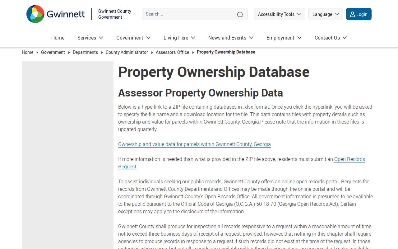
The database supports owner and parcel research while leaving the identity of unlisted occupants unresolved.
Consult the official GIS questions page for deed, plat, map, and boundary limits.
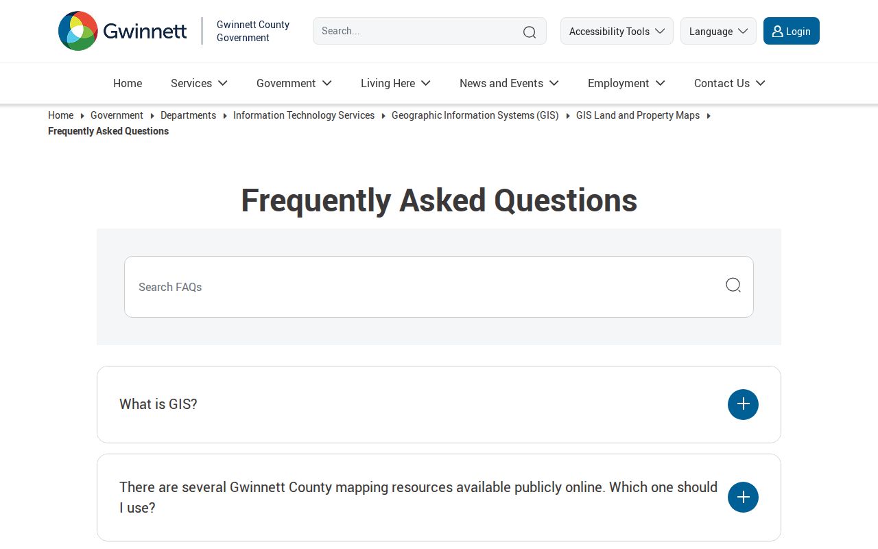
The FAQ reinforces that GIS does not survey private boundaries and directs deed or plat needs to the Clerk.
Lawrenceville Street Directory Privacy Limits
A Lawrenceville street directory cannot reliably identify renters, children, guests, or every adult household member. Utility customer and delivery data are not public household rolls. Driver addresses are restricted, while protected-voter programs, sealed records, and statutory redactions can remove other data. An unexplained blank is not permission to fill the gap from rumor or an unrelated profile.
Use a by-street search for personal property research, family history, civic facts, seller verification, or neighborhood context. Verify time-sensitive records with their custodians. Respect private association and congregation lists, and never publish a compiled household roster merely because separate source records were open.
Lawful use. Public Lawrenceville address records do not authorize stalking, repeated unwanted contact, threats, harassment, intimidation, impersonation, or harm.